CONTEXTUALIZATION
In 2012, through Decree No. 7,747/2012, the National Policy for Environmental and Territorial Management of Indigenous Lands (PNGATI) was established. Its objective is “to guarantee and promote the protection, recovery, conservation, and sustainable use of natural resources in Indigenous lands and territories, ensuring the integrity of Indigenous heritage, the improvement of quality of life, and the full conditions for the physical and cultural reproduction of current and future generations of Indigenous peoples, while respecting their sociocultural autonomy.”
By promoting Indigenous peoples' self-management of their territories, this policy serves as a mobilizing instrument that enables Indigenous communities, through their representative organizations, to act effectively in defending their lands and rights and in addressing their most pressing needs.
This project was developed in collaboration with Associação Wyty Catë, an organization that represents and coordinates Timbira communities in Maranhão and Tocantins, and the Guarani Yvyrupa Commission, the representative body of the Guarani peoples of Southern and Southeastern Brazil.
The proposal reflects strategies identified as priorities by the Timbira peoples and organizations for adapting to the impacts of climate change, preserving their territories, and improving community health conditions. It also supports territorial and environmental monitoring and protection tools and actions in Guarani Indigenous lands, while promoting the appreciation of their knowledge, perspectives, and strategies aimed at reducing deforestation and conserving the Atlantic Forest biome.
THE PROJECT
The project is organized into two components.
The first component involves the Timbira peoples, in Indigenous territories located in the states of Maranhão and Tocantins. It was developed based on the participatory survey on climate change, impacts on Timbira health, and adaptation strategies carried out by CTI together with the Wyty Catë Association of the Timbira Communities of Maranhão and Tocantins during the COVID‑19 pandemic. The survey highlighted the link between the worsening epidemiological conditions in the communities and the historical pressures on the territory, which have been intensified by climate change.
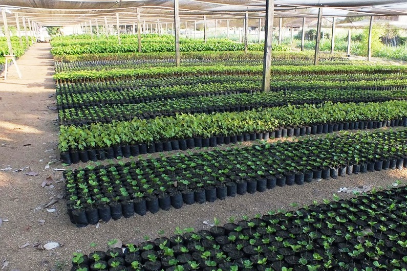
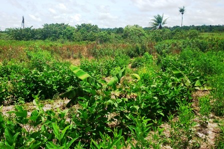
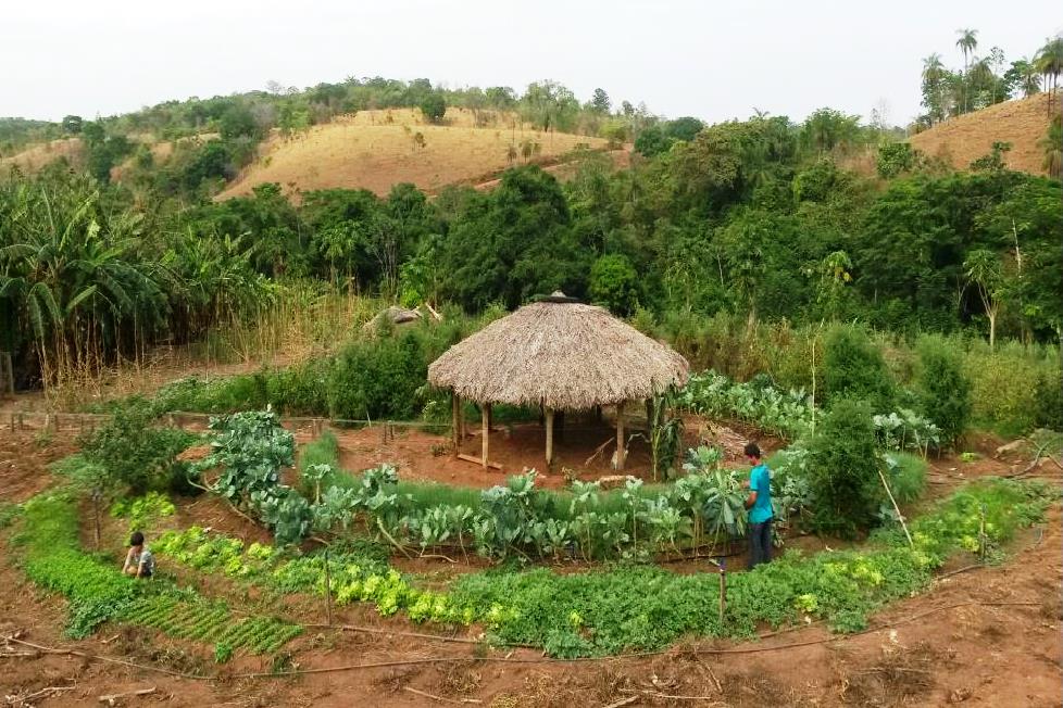
To address these challenges, the project will support the strengthening of the five Base Poles and the 12 Indigenous Basic Health Units (UBSI) that serve the Timbira communities, including items for operational structuring, a training process on traditional Timbira medicine, and campaigns to support the vaccination strategies of the Base Poles, among others. A Timbira health education program will be carried out, with workshops for intergenerational dissemination of knowledge on preventive and curative Timbira health practices, as well as guided dialogues on alcohol abuse, mental health, and prevention and control of diseases with high incidence rates. As territorial adaptation strategies to climate change, the project will support three planting cycles using agroecological practices for the cultivation of traditional foods in fields and home gardens, and the implementation of traditional medicine beds. It will also support the installation of irrigation systems for crops in five villages with the highest vulnerability related to food and nutritional security, and the drilling of semi‑artesian wells and the structuring of water supply systems for family homes, ensuring access to drinking water for families in 15 villages facing severe water scarcity. The project also supports the strengthening of Indigenous organizations and traditional governance structures to ensure their participation in agendas related to territorial preservation and the promotion of Indigenous health.
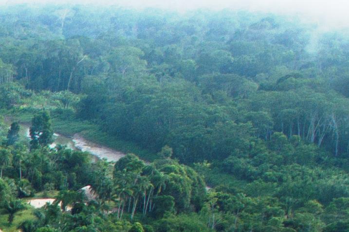
The second component involves the Guarani Mbyá peoples in 22 Indigenous territories located in the Vale do Ribeira (São Paulo) region and along the coast of Paraná, in the Iguape‑Cananéia‑Paranaguá Estuarine‑Lagoon Complex, which contains some of the most intact stretches of Atlantic Forest. Guided by Axis 1 of PNGATI, which addresses territorial protection and the natural resources of Indigenous Lands, the strategy adopted for the project combines systems and tools used by non‑Indigenous actors with the knowledge and traditional practices used by the Guarani to monitor and protect their territories.
Updates and improvements will be made to the Guarani Digital Map, an interactive and collaborative platform used by communities and the Comissão Guarani Yvyrupa that systematizes and provides information on the territorial situation of the Guarani peoples through a system of georeferenced data projected over aerial images. In addition to improvements to the platform, workshops will be held to disseminate its use and data entry among Indigenous participants. The project also includes various training activities related to territorial monitoring and protection, as well as four training modules for 12 Indigenous Guarani researchers to conduct research on the relationship between the Guarani and the Atlantic Forest from their own perspective. In addition to the training processes, actions for territorial and environmental monitoring and protection will be carried out in two formats: one focused on intercultural experiences and practices, and another centered on traditional initiatives for territorial and environmental protection, understood as actions necessary, within Guarani traditionality, to ensure the territorial, environmental, and cosmological integrity of their land.
INTERVENTION LOGIC
The project is part of the “Land-use Planning” (3) components of the Logical Framework of the Amazon Fund. The expected direct effect, as defined in this Logical Framework, was as follows: “protected areas with infrastructure, territorial protection and consolidated management" (3.2) as a result of the support for strengthening health initiatives among the Timbira peoples and ensuring the integrity of their territories, as well as the support for territorial protection and natural resource management in Guarani Mbyá Indigenous lands within the Atlantic Forest biome.