CONTEXTUALIZATION
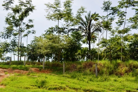
Considering the large share of the Land and Forestry Use Change sector in total greenhouse gas (GHG) emissions in Brazil, and the commitments made by the country to the United Nations Framework Convention on Climate Change (UNFCCC) to reduce its emissions, the elaboration and execution of public policies, the realisation of command and control actions, as well as the development and improvement of tools for monitoring and combating deforestation, are of fundamental importance.
Regarding the tools used to monitor and fight deforestation in the country, it is worth highlighting the deforestation detection and alert systems, aimed at monitoring the Brazilian forest coverage with satellite images, detecting deforestation and making them publicly available to the entities involved in overseeing and fighting deforestation and/or the general public.
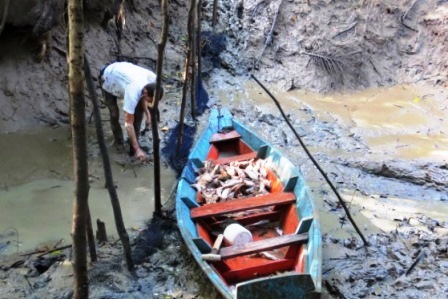
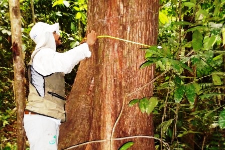
The alerts generated by these systems, especially by INPE (National Institute for Space Research), through DETER (Real-Time Deforestation Detection System), are essential for the inspection work conducted by environmental agencies. However, given the medium resolution of the images used, these alerts generally need to go through a validation process, often followed by field checks before any specific action is taken by the environmental agency. Furthermore, not all alerts provide complementary and relevant information for determining the actions to be taken by environmental agencies, such as those related to the Rural Environmental Registry, Indigenous Lands, Conservation Units, embargoed areas, and others.
MapBiomas Alerta (http://alerta.mapbiomas.org/) was developed in this context: a tool that monitors deforestation alerts issued by various existing alert systems, validates them, enriches the information of each alert from the intersection of information with several public databases, and generates a report where high-resolution satellite images of before and after deforestation are identified, in addition to other data obtained through this crossing of information.
THE PROJECT
The project is structured into two components: (i) MapBiomas Alerta; and (ii) Forest Regeneration.
With regard to the first component, the project aims to support the continued operation of MapBiomas Alerta, in addition to updates and improvements to the tool.
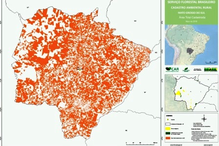
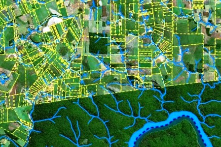
MapBiomas Alerta uses high-resolution satellite images to validate and refine alerts received from several deforestation monitoring systems in the Brazilian territory (DETER, GLAD, SAD, SAD Caatinga, SAD Mata Atlântica, SAD Pantanal, SAD Pampa, SAD Cerrado and SIRAD-X). Once the suppression of native vegetation is confirmed, the images are cross-referenced with land and inspection data, such as Indigenous Territories, Conservation Units, Rural Settlements, Quilombola Territories, areas of the Rural Environmental Registry (CAR), such as Permanent Preservation Areas (APP) and Legal Reservations (RL), in addition to embargoed areas, vegetation suppression authorisations and the forest management plan of the National System for Controlling the Origin of Forest Products (Sinaflor). This way, it is possible to identify whether the suppression was authorised and, in cases where it was not, identify the type of offense. The process is conducted using machine learning algorithms, and, based on the data generated, the tool produces reports for validated alerts.
The alerts and their respective reports are published on the MapBiomas Alerta platform (https://plataforma.alerta.mapbiomas.org/), where it is possible to view the information by territorial (e.g. Biomas, UF, Municipalities, Protected Areas) or administrative section (property with or without authorisation for plant suppression), and access alert statistics.
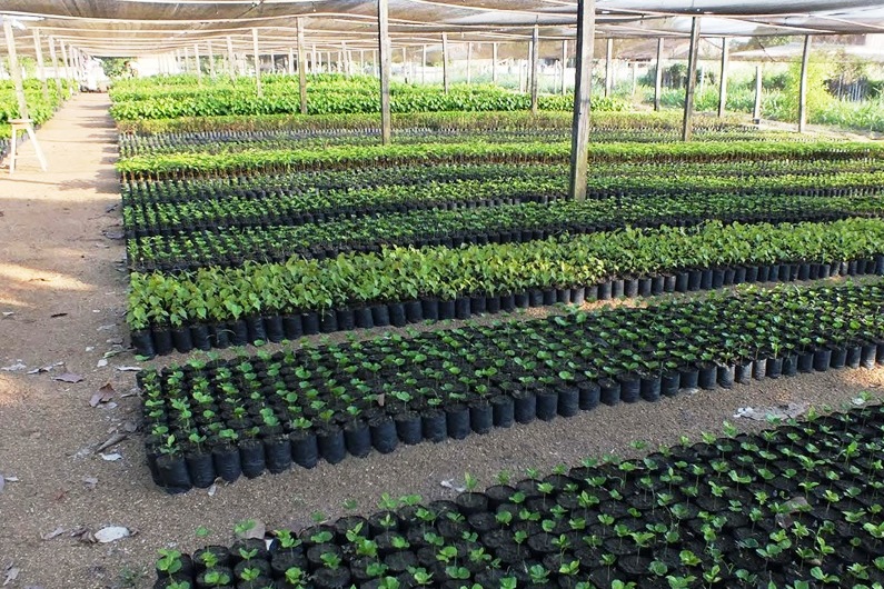
The second component of the project plans for the development of a new tool for monitoring and validating areas in the regeneration process of native vegetation. This monitoring will initially be carried out in areas that have restoration commitments, such as areas embargoed by IBAMA or the states. Therefore, based on public data that identifies these areas, the proposal consists of generating reports with the history of coverage and use of land in each area, indicating if it is in fact undergoing a regeneration process, or if it is being used for other purposes. The result of this monitoring will be publicly available and free of charge on the MapBiomas platform, and can also be accessed through APIs.
INTERVENTION LOGIC
The project falls within the “monitoring and control” (2) and “science, innovation and economic instruments” (4) components of the Amazon Fund’s Logical Framework.
In the “monitoring and control” component, the project will contribute to the direct effect “structured and modernised environmental monitoring, control and accountability institutions” (2.1), as a result of making the technological tool developed available to monitoring and control bodies, in order to strengthen them and structure them for the elaboration and implementation of public policies, contributing to the improvement of their capacity to monitor and inspect deforestation, the dynamics of land use change and forest degradation.
In the “science, innovation and economic instruments” component, the project will contribute to the direct effect “knowledge and technologies aimed at the conservation and sustainable use of biodiversity, monitoring and control of deforestation and territorial planning are produced, disseminated and used” (4.1 ), as a result of the improvement of the technological tool that supports the MapBiomas Alerta initiative and the development of a new tool for monitoring forest regeneration/recovery in areas with restoration commitments, thus contributing to the development and implementation of public forest restoration policies, prevention and control of deforestation.