CONTEXTUALIZATION
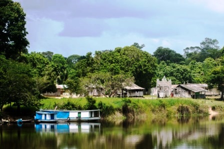
INPE is a research institute that is part of the structure of the Ministry of Science, Technology and Innovation (MCTI) whose mission is to produce science and technology about space and land-based environments. INPE is responsible for running an environmental monitoring program in the Amazon, which produces systematic data on deforestation and forest degradation in the region. This data is the main source of information for decision making related to policies to combat deforestation in the Amazon. The release of this data has been recognized as an important factor in reducing deforestation in Brazil over the last few years.
INPE’s monitoring of forest coverage in the Amazon via satellites has four main systems: PRODES, DETER, DEGRAD and DETEX. These systems complement each other and were conceived to achieve different goals.
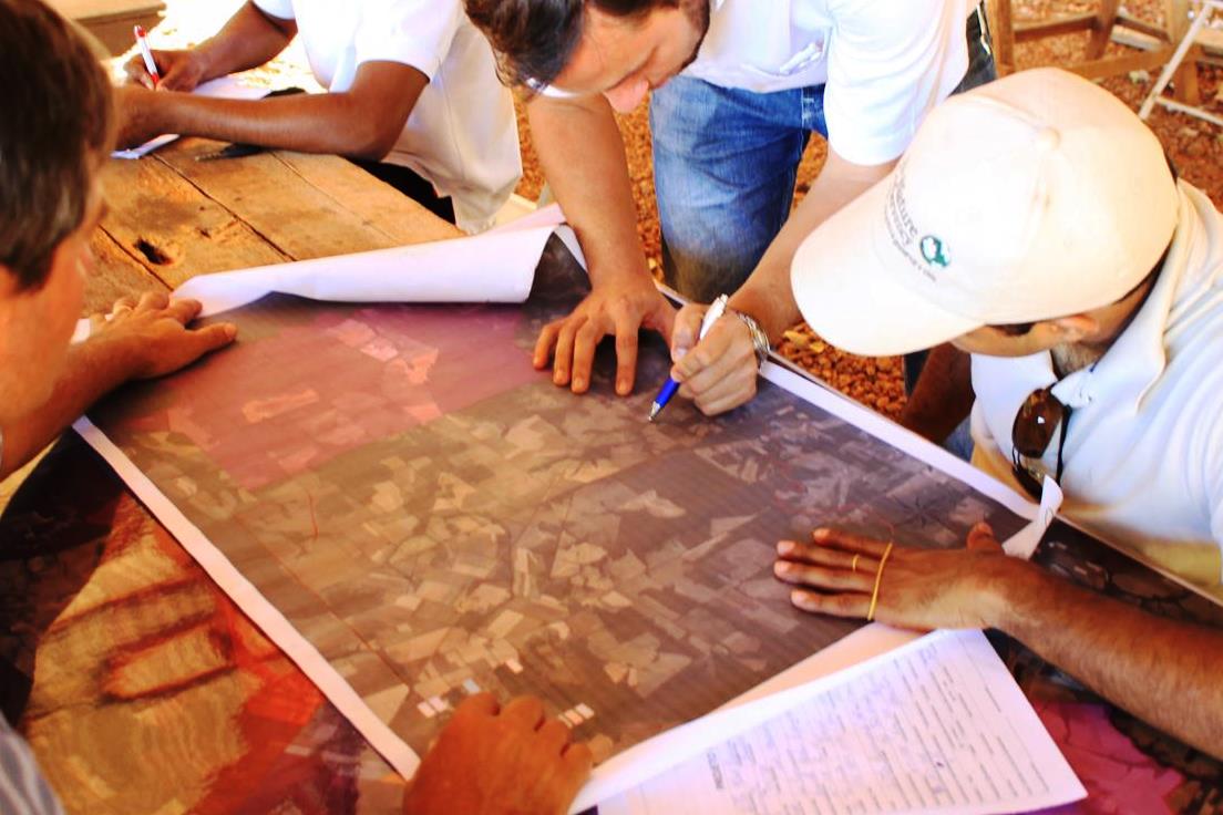
Another of INPE’s important contribution to the issue of reducing deforestation and environmental degradation includes the TerraClass project, run in partnership with the Brazilian Agriculture and Cattle-raising Research Company (Embrapa) and financed with resources from the World Bank and FINEP. The aim of the project was to map out the use and coverage of the land in deforested areas in the Amazon using satellite images. It was carried out between 2008 and 2010.
THE PROJECT
The project will support INPE’s activities related not only to environmental monitoring via satellite, but also mapping and studies on land use and coverage in the entire Amazon region. Part of this effort has the potential of having its methodology shared as well as the data, technologies and equipment in the monitoring of the environment in Brazil’s other regions and biomes, in addition to other tropical countries.
This project incorporates seven subprojects: mapping out the use and coverage of land in the Legal Amazon; improving the TerraAmazon software; improving the services for receiving, distributing and using images that INPE produces using remote sensoring; improving monitoring of forest fires and illegal burn-offs; studying standards and processes in characterizing deforestation dynamics in the Amazon; making available tools to shape changes in the use of land; and improving methods to estimate biomass and emissions from changes in land use.
The expected results of the project will help implement the REDD strategy (Reducing Emissions from Deforestation and Forest Degradation) in the country, since they will make it possible to increase controls on deforestation and forest degradation, by strengthening INPE’s monitoring systems and increasing know-how on deforestation and degradation’s progress over time.
INTERVENTION LOGIC
The project falls within the "Monitoring and Control" (2) and "Scientific and Technological" (4) component of the Amazon Fund's Logical Framework.
Click on the following image to view its objectives tree, that is, how the project's outputs and linked to the expected outcomes and impact.