CONTEXTUALIZATION
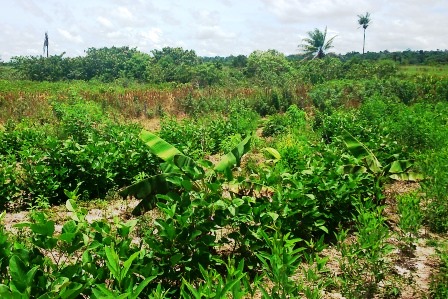
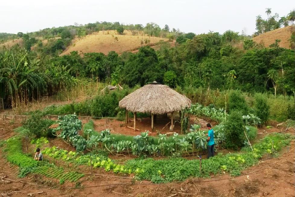
The state of Mato Grosso covers an area of 903,357 km². It has 141 municipalities, of which some 86 are part of the Amazon Biome, corresponding to an area of 480,215 km² (54%). The Cerrado biome (Hinterland) covers the central portion of the state, with 354,823 km² (39%), while the smaller area is part of the Pantanal biome (Marshland), in the south of the state, with 60,885 km² (7%).in the scope of the Amazon Fund, and its objectives were to foster the environmental recovery of 1,200 hectares of degraded areas and to revitalize family farming in six municipalities in the Portal of the Amazon region.
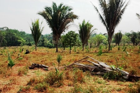
The occupation and economic growth of the state was based on the agricultural sector, with incentives to replace the forest with a variety of crops and cattle, which caused extreme damage as a result of high deforestation rates. Despite the substantial decline in deforestation over the last few years, the state of Mato Grosso has the largest accumulated deforested area in the Legal Amazon, with a proportion of approximately 34% of the total deforested are.
THE PROJECT
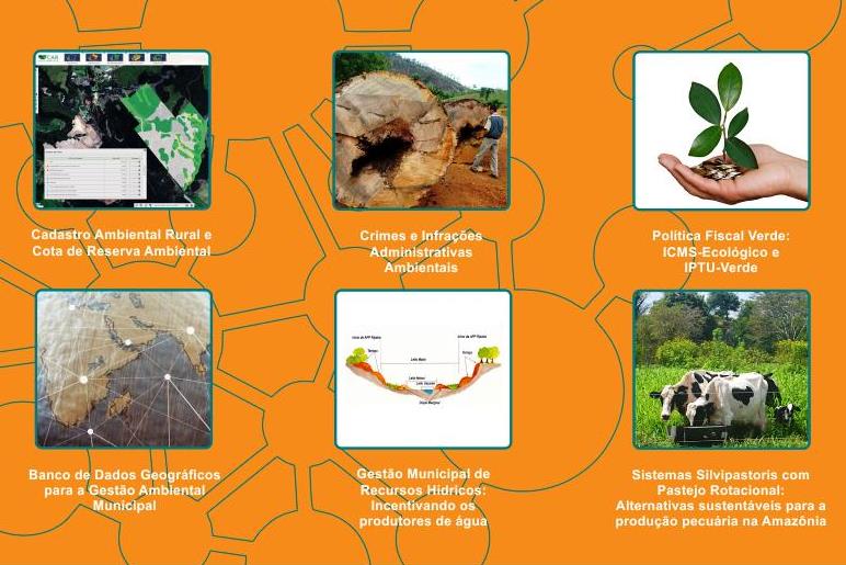
The project is structured into three sections. The first is to provide support to consolidate the system of protected areas, aimed at consolidating nine (9) state-run Conservation Units (CUs) through geo-referencing, demarcation and signage of the boundaries, besides fostering management of the CUs, through training, as well as physical and operational structuring.
The second focus involves strengthening inspection and state environmental licensing. Within this context, efforts will be made to foster modernized management of state forest resources by implementing a digital environmental licensing system, as well as expanding and intensifying inspection.
The last aim focuses on further decentralization of environmental management, while seeking to structure SEMA’s regional agencies to improve regional environmental licensing and inspection. In addition, it seeks to decentralize state environmental management by institutionally strengthening 40 municipal environmental secretariats located in the Amazon Biome.
INTERVENTION LOGIC
The project is part of the Monitoring and Control (2) and Territorial Planning (3) components of the Amazon Fund’s Logical Framework.
Click on the following image to view its objectives tree, that is, how the project's outputs and linked to the expected outcomes and impact.