CONTEXTUALIZATION
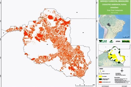
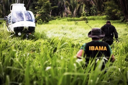
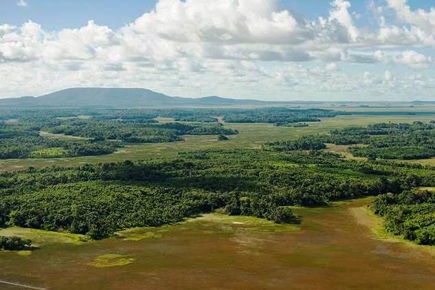
Using satellites to monitor the environment is of great use when combating deforestation and environmental degradation, generating data that can help implement public policies to combat deforestation and foster more social participation and control.
The Amazon Cooperation Treaty Organization (ACTO) is an intergovernmental organization comprising eight countries, which, together, cover 99% of the Amazon Biome: Bolivia, Brazil, Colombia, Ecuador, Guiana, Peru, Suriname and Venezuela. It is an institution that is responsible for implementing the Amazon Cooperation Treaty (TCA), signed in 1978, and operates as a permanent cooperation forum, exchange and know-how, under the principle of reducing regional disparity, helping implement programs and projects that foster sustainable development and regional cooperation to improve the standards of living for Amazon inhabitants.
THE PROJECT
With a 60-month deadline, the project Monitoring Forest Coverage in Regional Amazon aims to help develop the capacity to monitor deforestation, changes in the use of land and forest in ACTO member countries, offering information on the extent and quality of forest coverage, pre-requisites for monitoring and controlling deforestation.
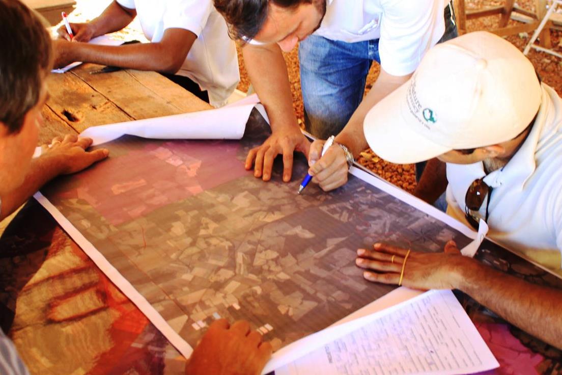
The project – which began in 2011, with resources from the German Agency for International Technical Cooperation (GIZ) and from the International Tropical Timber Organization (ITTO) – will receive support from the Amazon Fund in the following initiatives: to strengthen observation rooms by offering support to purchase physical infrastructure and to hire staff; to structure research rooms; to offer training in monitoring technology for forest coverage; and to design national monitoring plans.
Efforts also focus on regional cooperation to combat illegal deforestation and to exchange experiences related to public policy instruments aimed at reducing deforestation rates.
The project has the support of the Ministry of Foreign Affairs (MRE), and the Ministry of the Environment is involved as the National Coordinating Institution, by means of the Policy Department to Control Deforestation. The National Institute for Space Research (INPE) is also involved in the project, transferring its monitoring technology for forest coverage and training people in other ACTO member countries
INTERVENTION LOGIC
This project falls under the “Monitoring and Control” (2) and "Science, Innovation and Economic Instruments" (4) components of the logical framework of the Amazon Fund.
Click on the following image to view its objectives tree, that is, how the project's outputs and linked to the expected outcomes and impact.