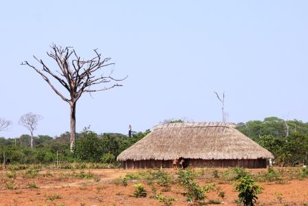
CONTEXTUALIZATION
The Operations and Management Center of the Amazonian Protection System (CENSIPAM) is the system that gathers, processes and disseminates information about the Amazon region. The system uses complex infrastructural technology composed of integrated subsystems of remote detection, weather stations and data collection platforms that are installed in the region – a system capable of monitoring and producing almost real-time information.
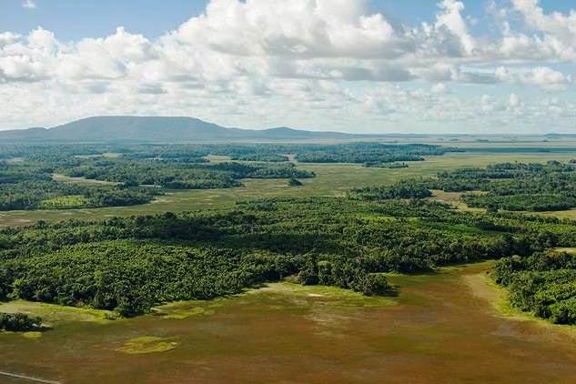
The Ministry of the Environment, in partnership with the National Institute for Space Research (INPE), has monitored deforestation in the Amazon, by means of a system known as the Monitoring Programme of the Brazilian Amazon Forest by Satellite (PRODES), since 1988. This system detects “clearcut” type deforestation exceeding 6.25 hectares, with the data being published annually due to eight months being needed for them to be finalized. The system’s objective is to estimate the annual deforestation rate and use this information to support law enforcement as well as control and fight against illegal deforestation.
Since 2004, there has been another system to map the areas deforested by clearcutting and forest degradation, called Detecção de Desmatamento em Tempo Real (Real Time System for Deforestation Detection) – DETER. This is a warning system used to support law enforcement and control deforestation and is a more agile tool than PRODES. However, the sensors used are optical and have a 250-meter spatial resolution, which makes it impossible to detect deforestation focus points in areas covered by clouds and/or areas smaller than 25 hectares.
THE PROJECT
The main objective of the project is to implement a deforestation detection system in the Amazon using orbital imaging radar. Once deployed, this detection system will work as a complement to the DETER system, acting within this system’s limitations through monitoring orbital radar images. The synthetic aperture radar sensor (SAR) allows satellite imagery to be captured during the day or night, regardless of obstacles such as clouds, fog and smoke.
The project is structured into three components, namely: (i) reception and storage infrastructure – involving the construction, structure and maintenance of a platform to receive, store and pre-process the radar images acquired during this project; (ii) human resource training – aiming to qualify and disseminate knowledge regarding the application of radar technology among CENSIPAM employees; and (iii) systematic monitoring and
warning for deforestation focus points, so that law enforcement agencies can take appropriate action.
INTERVENTION LOGIC
This project falls under the “Monitoring and Control” (2) and “ Science, Innovation and Economic Instruments” (4) components of the logical framework of the Amazon Fund.
Click on the following to view its objectives tree, that is, how the project's outputs and linked to the expected outcomes and impacts.